
Scientific imagery
Webb · Pillars of Creation
Published NIRCam and MIRI infrared composites for the Beyond Earth educational comparison. Official comparison renditions, with resized WebP copies for smaller screens. No recolouring, enhancement or change of framing. Assigned colours do not represent human vision.
NIRCam · weic2218d — NASA, ESA, CSA, STScI; J. DePasquale, A. Koekemoer, A. Pagan (STScI).
MIRI · weic2218c — NASA, ESA, CSA, STScI, J. DePasquale (STScI), A. Pagan (STScI)
ESA/Webb reuse conditions · CC BY 4.0. Source-based explanations: ESA/Webb and NASA; filter reference values: STScI. No institutional endorsement is implied.
Earth · Apollo 17
The Beyond Earth selector shows an Earth photograph taken by the Apollo 17 crew on 7 December 1972. Credit: NASA Johnson Space Center. Original image and mission caption.
Moon · lunar nearside
The Beyond Earth selector shows a photographic mosaic assembled from approximately 1,300 Lunar Reconnaissance Orbiter Wide Angle Camera images acquired in December 2010. Credit: NASA/GSFC/Arizona State University. Original image and method.
Mars · Viking Orbiter mosaic
The Beyond Earth selector shows a global mosaic assembled from Viking Orbiter images acquired in 1980. Credit: NASA/JPL-Caltech/USGS. Original image and processing description.
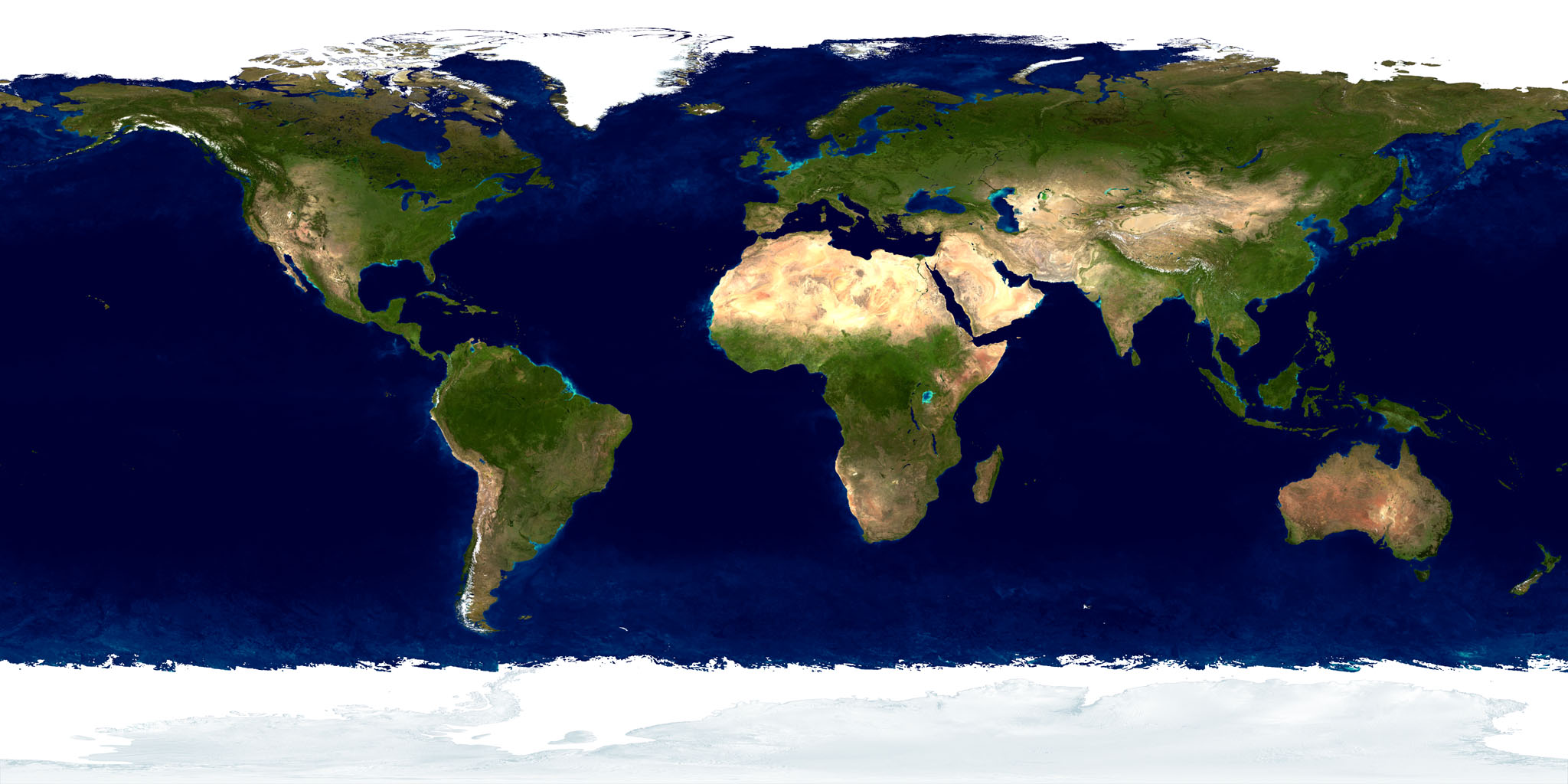
Earth texture · Blue Marble
On the homepage and optional Beyond Earth globe, NASA's Blue Marble source image is used as a contextual Earth texture. Credit: NASA Earth Observatory. It is a processed global mosaic, not a current observation of an event. See the Blue Marble collection and NASA's media-use guidelines. These image credits do not imply NASA endorsement.
Moon globe · LRO global colour map
The optional 3D Moon uses NASA Scientific Visualization Studio's 2025 LRO colour map, adapted from LROC Wide Angle Camera imagery. Polar gaps include LOLA albedo data. Credit: NASA's Scientific Visualization Studio / Ernie Wright. Map, method and source data. This visual map is intended for rendering rather than scientific analysis.
Mars globe · Viking global map
The optional 3D Mars uses a global Viking image map processed by USGS. Credit: Caltech/JPL/USGS. Original map and source. It is a visual texture rather than a calibrated analytical product.
Identity and event marks
AstraSense identity
The AstraSense wordmark, symbol and browser icons are used throughout the site.
Organisational and event marks
The About page identifies JaWelt Bay GmbH as corporate backing and credits iBrain LAB for its contribution. The homepage displays the Space Tech Expo Europe mark for the Bremen event; see the official expo site. It also displays the Americas Space Forum 2026 mark with AstraSense's Platinum Partner participation; see the official Forum site. The Lucerne event card uses the NASA Space Apps Challenge identity from the official 2026 logo pack, alongside the SSIP mark to acknowledge the local organising team; see SSIP’s local event information. These marks remain the property of their respective owners. The event marks identify distinct engagements.
Conceptual visuals and sound
The homepage film and stills are AstraSense-supplied conceptual visualisations, not acquired satellite observations. The Astra Field, orbital geometry, illustrative landscapes, evidence relationships and optional synthesised sound are original website artwork. The investigations, relative times and assessments are authored teaching scenarios, not model outputs or live scientific processing.
Software and typography
The 3D rendering uses Three.js, © its authors, under the MIT licence; the full notice is in third-party software notices. Typography uses system fonts supplied by each visitor's device. No hosted webfont file is included.
Scientific references
Linked educational sources in the homepage and public guides include ESA Sentinel-1 instrument information, NASA NISAR radar education, NASA vegetation-index education and USGS Landsat NDVI. They explain the scientific principles discussed in the guides; each guide links to its relevant sources.